If you're sitting there at your laptop planning an upcoming trip to Ecuador, chances are you've heard of Laguna Quilotoa, the vast crater lake which lies in the centre of the country.
Well, think of Laguna Cuicocha as its little brother. Equally as beautiful, but easier to get to and - as it stands - a little more unknown.
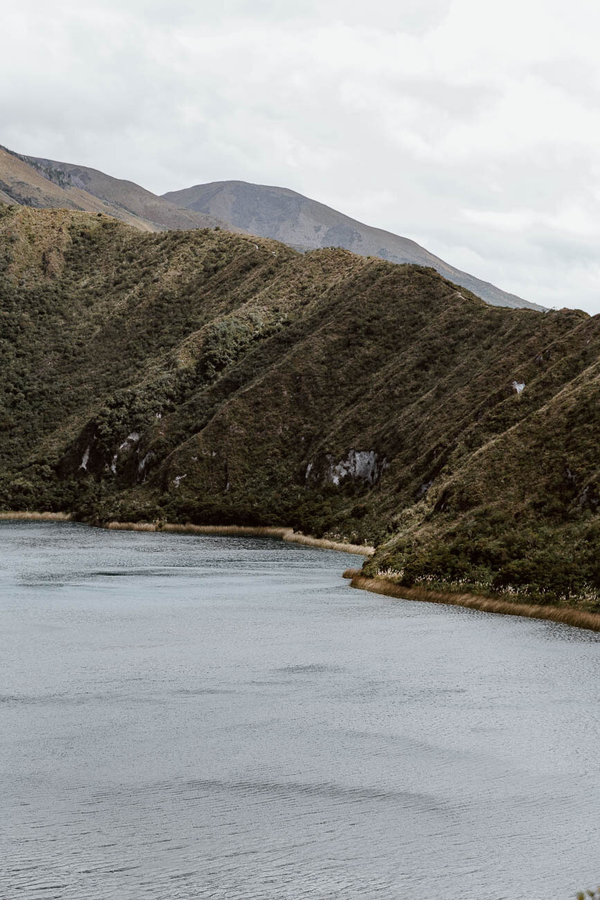
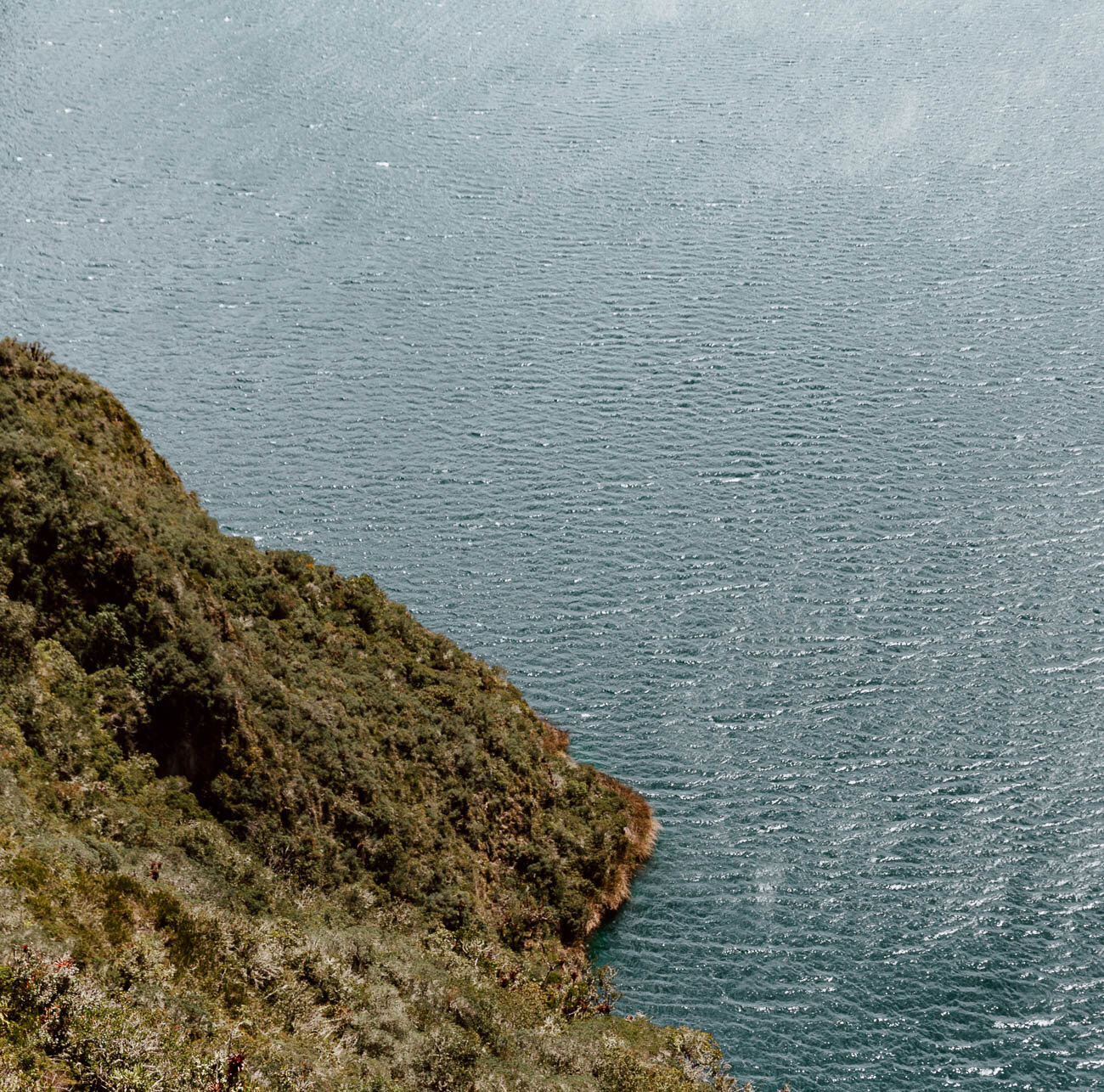
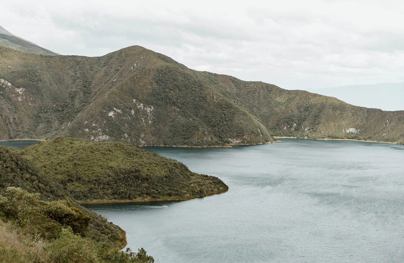
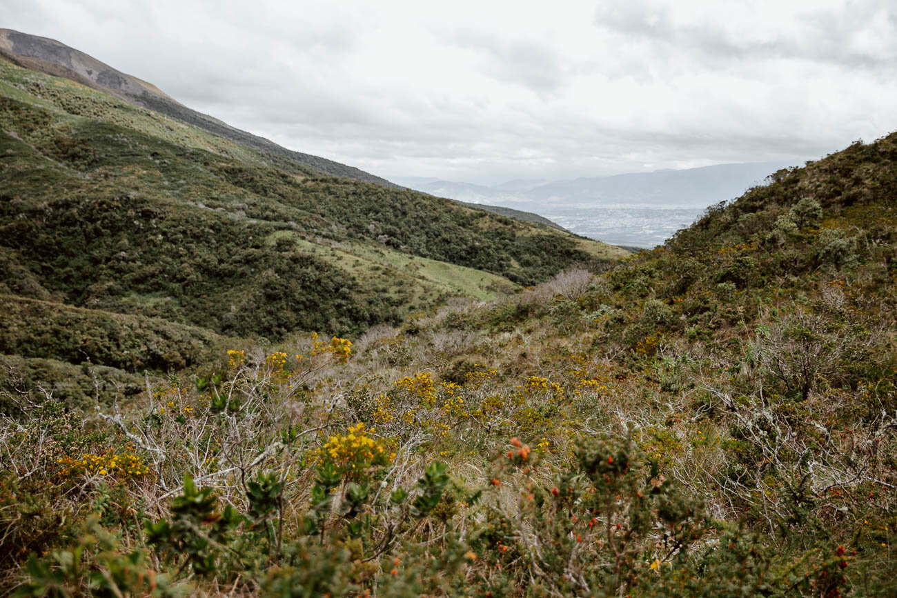
Created following the huge eruption of the Cotacachi Volcano more than 3000 years ago, the resultant 3km wide water filled caldera remains today; a crater lake with the most incredible azure waters, edged by long grass and wild Andean flowers, two uninhabited islands breaking a surface that does not move.
Translated as 'Lake of the Guinea Pig', its name stems from a local belief that the the larger island looks like a guinea pig, and whilst we couldn't personally see the resemblance (and we really, really did try from every angle), we never doubted or regretted our decision to hike its rim.
Located less than an hour from Otavalo, it offers a delightful nature-based bolt on for those that come for the Saturday market but what to explore more of the region.
Here's everything you need to know about visiting Laguna de Cuicocha for a day hike.
Laguna Cuicocha Essentials
Altitude | 3,512 m at its highest point
Distance | The entire circuit is 14 km.
Time | We left on the bus from Otavalo at around 9.15 a.m. and were back in the city by 3 p.m. The hike itself took just over four hours, which included plenty photo stops.
Base City | Otavalo (our guide will be published soon!)
Difficulty | Easy to moderate, dependent upon your baseline fitness. It will be much more difficult if you're not fully acclimatised (if you’re not sure what we mean by altitude adjustment, then read this post before you visit South America).
Entry Fee | None
Total Cost | $13.40 for two people including all transport.
Getting to Laguna Cuicocha is Easy
First, you'll need to head down to the main bus station in Otavalo nice and early (Google Maps), and find a bus heading to Cotacachi - they will have this on the sign at the front of the bus, but it may be quicker to ask someone who will point you in the right direction.
They leave pretty regularly, with at least two every hour. The bus costs $0.35 per person, and the journey time around 30 minutes.
From the drop off point in the pretty main plaza of Cotacachi, simply head towards the queue of taxis on the other side and ask for Laguna Cuicocha - they’re all pretty used to travellers running this route.
The standard fare to the lake from here is $6 (you may be able to negotiate down, but our driver was having none of it), but due to the difficulty of sourcing a taxi for the return journey, you're best off agreeing a pick-up time with your taxi driver (give yourself 5 hours for the hike) so that you can avoid waiting around for ages at the other side after you finish up.
Our taxi driver initially wanted us to pay for both the journeys when he dropped us off at the hike, but we would never have agreed to that; only pay for the full amount upon being returned to the square after your hike.
To return to Otavalo, simply go back to the same stop in the plaza and wait for the next one to pull up!
Amazingly, it's free
Yep, despite this being a natural reserve - one of outstanding beauty at that - there is currently no fee to enter Laguna Cuicocha.
When you arrive, you'll need to stop and sign the visitors book (the taxi should stop to allow you to do this), but no-one should ask you for cash.
Bring Everything You Want to Eat with you
Whilst there is a restaurant on-site (although it seemed a little dead), there's not really a snack shop or anywhere to buy nibbles to take on the trail. That means that you'll need to bring lunch with you.
If you haven't bought these in Otavalo, Cotacachi is a good place to pick them up before taking the taxi.
The same goes for water, so be sure to fill up your reusable filter bottle before leaving.
Tip| Everyone should be looking at ways to use less plastic, and we’ve shared specific tips for travellers in this post. As ever, make sure to discard any rubbish appropriately on the trail or take it back to Otavalo with you.
There is only one way around Laguna Cuicocha
We were a little confused before we arrived at the lake.
You see, we'd read several articles that suggested you had two options for the hike route - clockwise and anti-clockwise.
However, after attempting the former prior to the latter, and being met with first confused, and then adamant park rangers that it wasn’t possible, plus a very clear sign at what would be the access point for the clockwise route, we can confirm that there is only way around the lake: anti-clockwise.
We repeat - you should only go around the crater anti-clockwise (i.e. with the lake on your left hand side)!
The Hike Begins at the Visitors Centre
We can't be the only ones that upon arriving, headed for the giant yellow building at the end of the road, instead of the the grey building on the right hand side which houses the Visitor's Centre (Google Maps), and the beginning on the hiking trail.
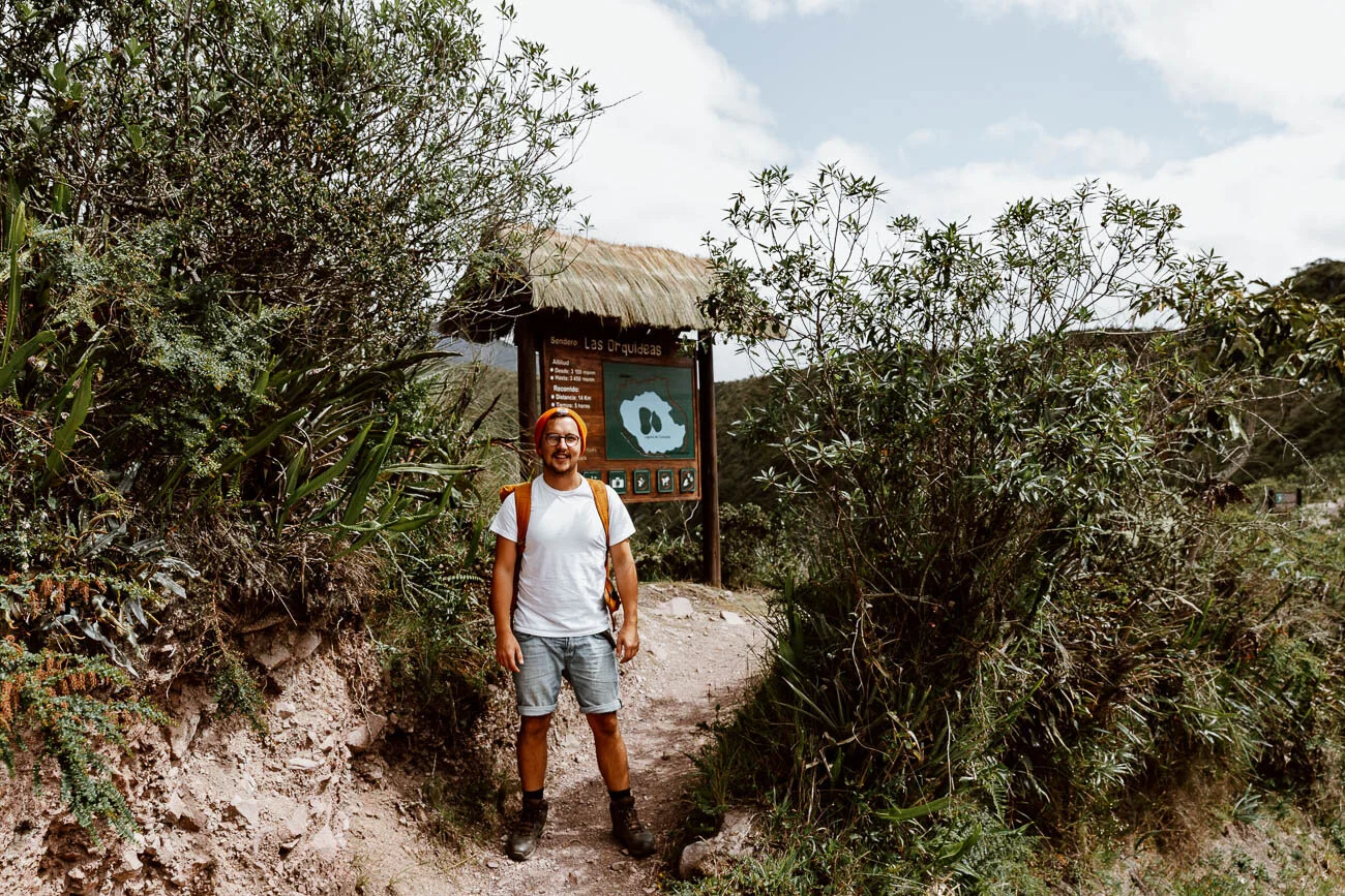
Walk through that building towards the outside, and you'll see a sign pointing to the trail. At the beginning it can a appear a little congested, but once you get beyond the first viewing platform, you'll discover that the vast majority of people aren't planning on completing the loop.
The Hike's Not too Tough
As we mentioned above, if you've got a good level of fitness, and are well acclimatised to the altitude, this hike is plenty manageable.
At the beginning it can sometimes feel as if you're continually going up (which feels much tougher at 3,500 m), but halfway through, the hike becomes quite a leisurely walk, less about hiking and much more a delightful stroll through farmland.
It's also incredibly easy to follow, with lots of signs and no - at least to memory - spots where you can become confused and go off course.
The Views are Incredible
We suspect, having seen photos in this post, you'll already know this, but it's worth stating it out loud: the views along the rim of the crater are bloody phenomenal, even if the skies become a little grey (as they did towards the end of our hike).
And the great thing about a loop hike is that you get to see the crater, the islands within, and the surrounding countryside from lots of different angles.
There are a few benches and areas to hang out for lunch or a breather, and appreciate what’s before you!
There is a Short Cut
We don't know too much about this route, but towards the end of our hike, we passed a large group of older travellers who informed us that 'they'd gone the easy way'.
What they meant was, there is a road - accessible to cars - that joins the trail about halfway along, and their tour van had dropped them off there. We don't know anyone else that has done this, and it's difficult to find anymore information on line, so if you know, drop us a few lines in the comments and we'll update this post.
However, we think you should really just do the full day trip and loop!

